
Research · master's thesis
beyond the single needle
Networked public space strategies for the Wien river corridor: many small, precise interventions in Sechshaus instead of one single large project.
- Type
- Master's thesis, double degree
- Location
- Vienna, 15th district, Sechshaus
- Period
- since Dec 2025, midterm June 2026
- Supervisors
- Sun Tongyu (Tongji), Katrin Hagen (TU Wien)
How can small-scale urban interventions along the Wien river in Vienna's 15th district be systematically developed and implemented to enhance spatial permeability, everyday use and local urban identity?
starting point
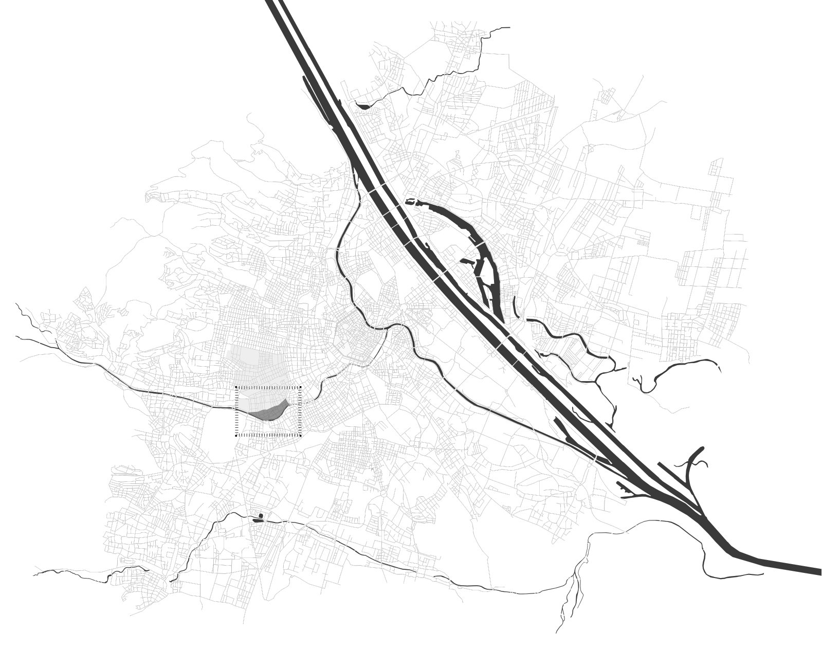
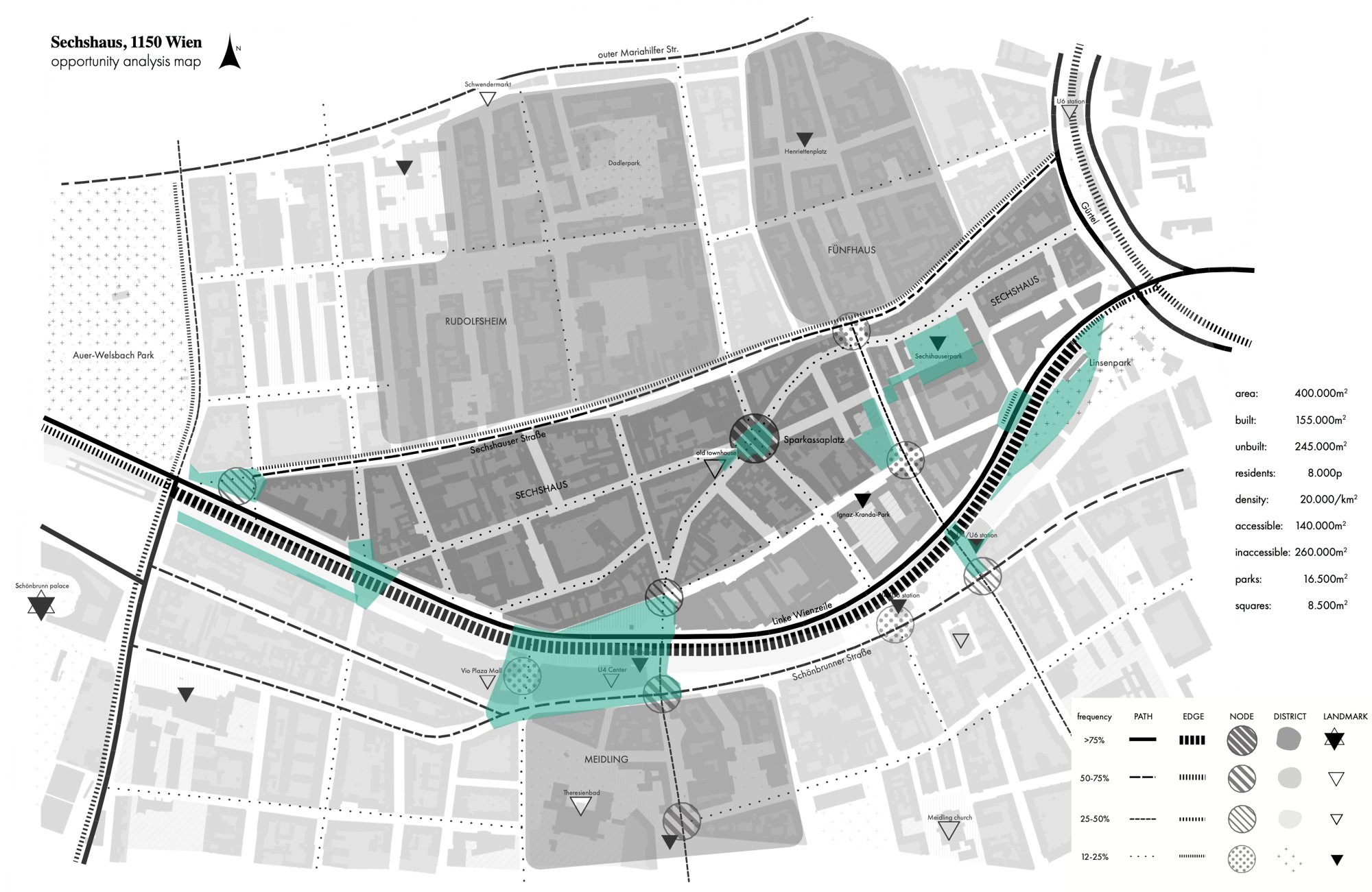
Between the Gürtel and Schönbrunn, the Wien river, the metro line and the Wienzeile run along Sechshaus. The corridor is well connected, yet in everyday life it acts as a barrier: open spaces are fragmented, streets are dominated by cars, walking routes are weak and sealed surfaces are vulnerable to heat.
The study area covers around 400,000 m² with some 8,000 residents. Only 35% of it is publicly accessible, 4% is park and 2% squares.

three theories
 Urban acupuncture: where to intervene
 Placemaking: what public spaces should achieve
 Edge transformation: why the river corridor matters
The thesis combines three lines of thought, from Jaime Lerner and Jan Gehl to Kevin Lynch. The gap it addresses: how can coordinated small interventions improve walking routes and public space along an existing river corridor without rebuilding the whole area?
analysis
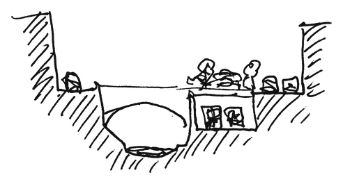
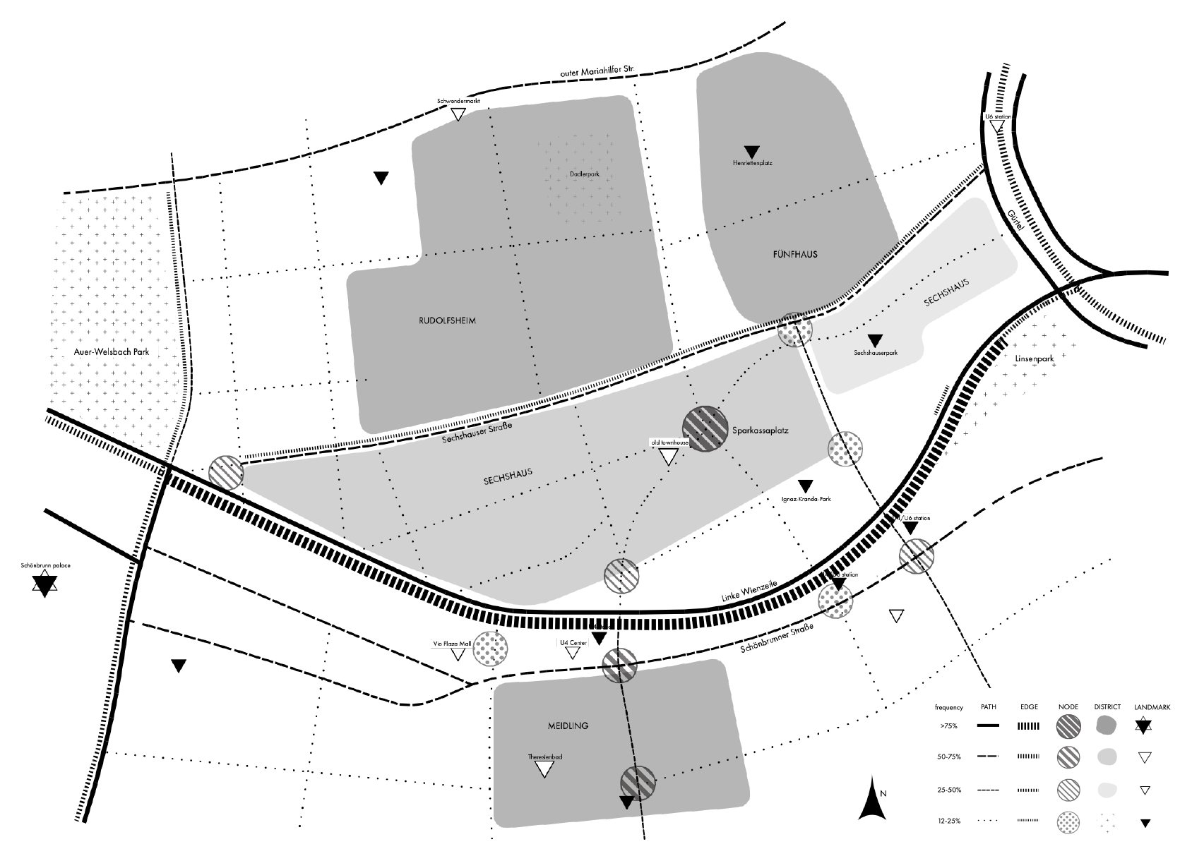
Sections through the corridor show how deeply the river and metro cut into the ground of the city. A mapping after Kevin Lynch records which paths, edges, nodes and landmarks people in the area actually perceive.

strategy
The analysis leads to five principles:
- Reconnect: continuous walking routes and safe crossings
- Activate: public life and active ground floors
- Reclaim: street space from cars for people
- Green: climate-responsive blue-green infrastructure
- Network: individual interventions into a coherent public space system
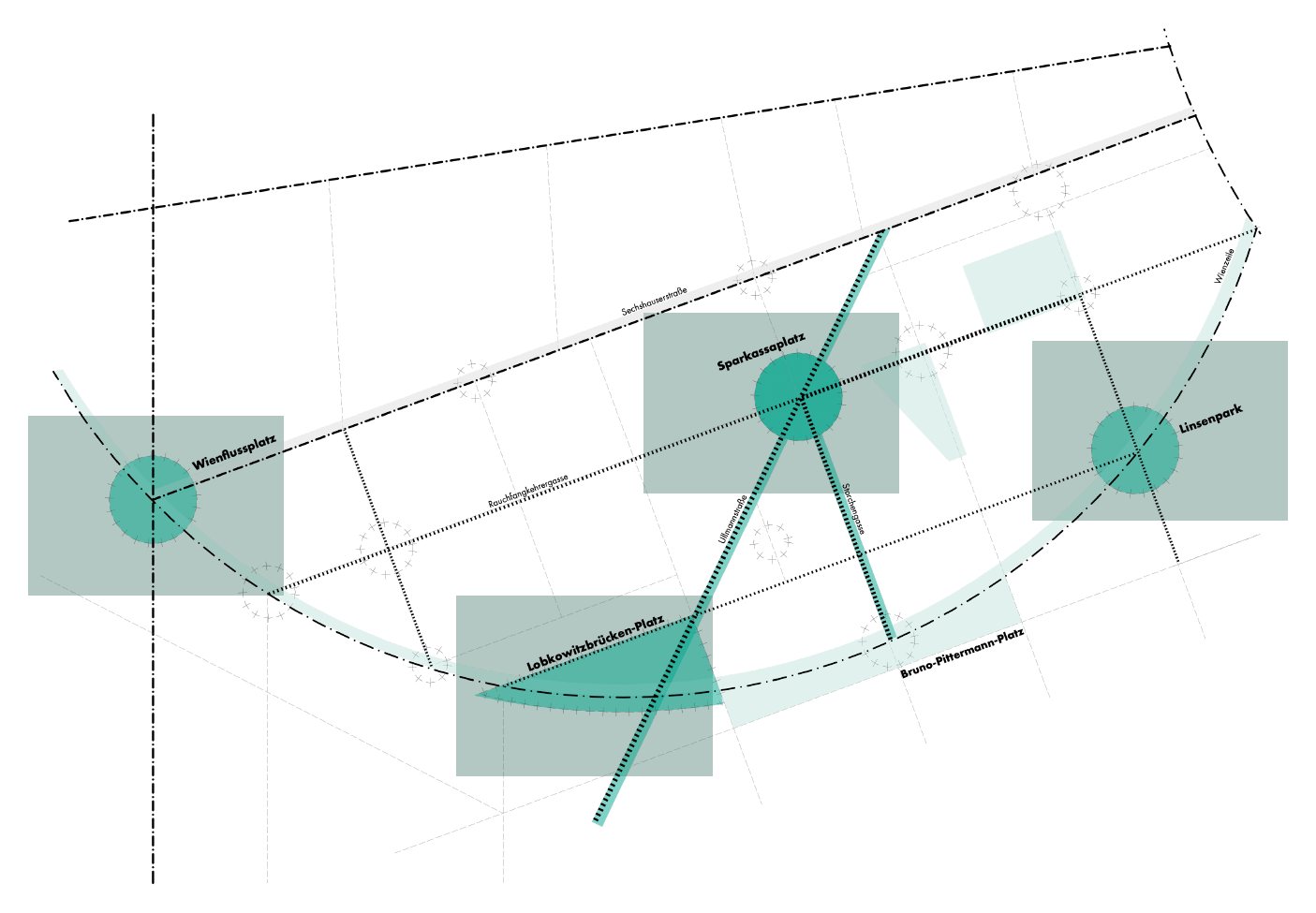
This results in a network of five nodes: Wienflussplatz, Lobkowitzbrücken-Platz, Sparkassaplatz, Bruno-Pittermann-Platz and Linsenpark.
what comes next
 Strategic masterplan for the public space network
 Prototype interventions at selected nodes
 Phased implementation: pilot, consolidation, integration